Geophysical Investigation to Delineate the Location of USTs, Southern Sydney, NSW (Q4 2016).
GBG Australia undertook a geophysical investigation to map the location of Underground Storage Tanks (UST) at an operating service station in southern Sydney. For this investigation ground penetrating radar was used to map the USTs onsite as well as any associated services.
The geophysical data was collected using a GSSI SIR-3000 unit with a variety of ground coupled antennas at different frequencies.
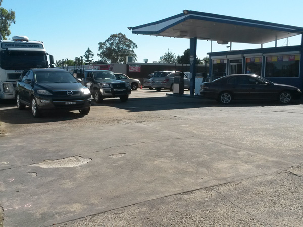
Figure 1: Site View.
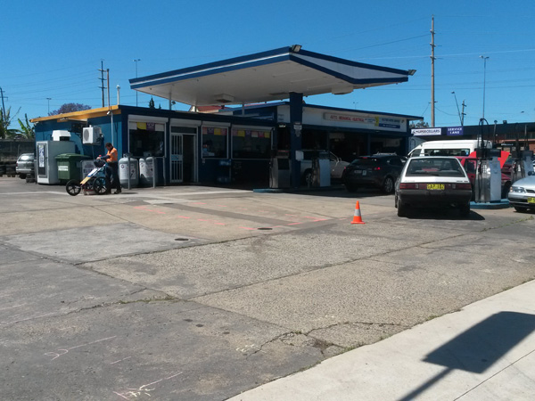
Figure 2: Site View
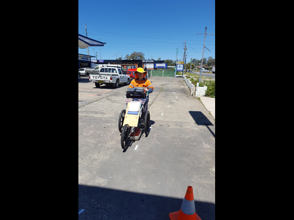
Figure 3: The GPR system used during the investigation mounted onto a survey cart.